The Border Town That Filed Lawsuits in the Wrong State for Decades
When Geography Becomes Optional in Court
Imagine filing a lawsuit and winning, only to discover years later that the court had no legal authority over your case. That's exactly what happened in the border town of Millfield, where a surveying mistake created a courthouse that spent thirty years issuing rulings for the wrong state.
This wasn't a simple clerical error — it was a fundamental misunderstanding of where the town actually existed. For three decades, residents lived under laws from a state they didn't technically belong to, creating one of the most accidentally successful legal systems in American history.
The Surveyor's Assumption
The trouble began in 1881, when railroad expansion required precise boundary surveys along the Missouri-Kansas border. The original colonial-era surveys had been rough approximations, adequate for frontier life but problematic for commercial development.
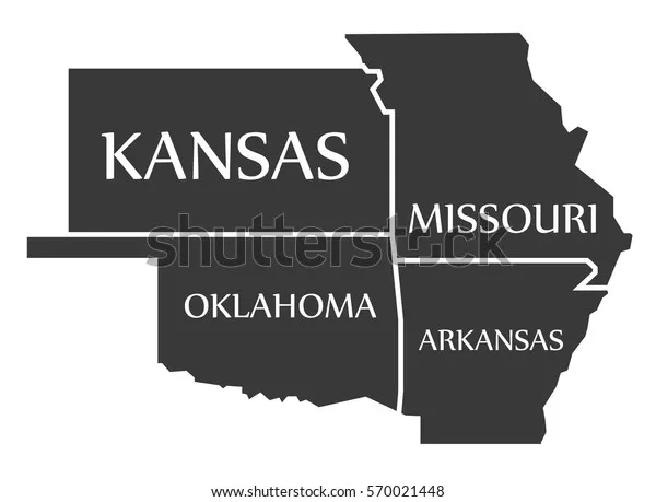 Photo: Missouri-Kansas border, via www.shutterstock.com
When surveyors reached Millfield, they made what seemed like a reasonable assumption: the courthouse, being the most important building in town, must be on the Missouri side of the border. They adjusted their measurements accordingly, placing the state line about a quarter-mile south of the building.
This decision made perfect sense. Courthouses were typically built at county seats, and county seats were usually placed well within state boundaries to avoid jurisdictional complications. The surveyors were experienced professionals working with the best information available.
There was just one problem: they were wrong.
A Legal System Built on Sand
The newly established border meant that Millfield's courthouse was definitively in Missouri, while most of the town's residents lived in Kansas. This should have triggered immediate administrative changes — Kansas residents would need to travel to their own state's courts for legal matters, and Missouri would need to establish new local government structures.
Instead, everyone simply continued as before. The courthouse kept hearing Kansas cases, Kansas residents kept filing Missouri paperwork, and the bureaucratic machinery kept grinding along without missing a beat.
For thirty years, this hybrid legal system functioned surprisingly well. Property disputes were resolved, criminal cases were prosecuted, and marriage licenses were issued. The court's docket shows a steady stream of routine legal business, with no indication that anyone questioned the arrangement.
The Discovery That Changed Everything
The error finally came to light in 1911, during a complex inheritance dispute involving property on both sides of the state line. Lawyers needed precise boundary information to determine which state's inheritance laws applied to specific parcels of land.
When they commissioned a new survey using modern equipment, the results were shocking: the courthouse wasn't just in the wrong state — it was nearly a quarter-mile from where everyone thought the border ran. The building that had been the center of Missouri justice for three decades was actually sitting in Kansas.
The legal implications were staggering. Every ruling issued by the courthouse since 1881 was technically invalid. Marriages might not be legal, property transfers could be void, and criminal convictions had no legal standing.
The Practical Solution to an Impossible Problem
Faced with thirty years of potentially invalid legal decisions, both state governments could have chosen chaos. They could have demanded that every case be retried, every document reissued, and every ruling reviewed by properly authorized courts.
Instead, they chose pragmatism.
Missouri and Kansas quietly negotiated what became known as the "Millfield Compact," a reciprocal agreement recognizing all courthouse rulings issued between 1881 and 1911. Both states essentially agreed to pretend that geography didn't matter for the purposes of validating past legal decisions.
The compact was never publicly announced. Residents learned about the boundary correction through newspaper notices about the new survey, but most never realized that their legal system had been operating without proper authority for decades.
The Bureaucratic Shuffle
Resolving the jurisdictional mess required careful coordination between multiple government agencies. Kansas had to establish new administrative structures for residents who had been receiving services from Missouri. Missouri had to transfer records and ongoing cases to Kansas authorities.
The most complex challenge involved property records. Deeds filed in the Missouri courthouse for Kansas properties had to be transferred to Kansas record-keeping systems while maintaining their legal validity. Tax records, voter registrations, and business licenses all required similar bureaucratic surgery.
Surprisingly, the transition proceeded smoothly. Local officials from both states worked together to ensure that residents experienced minimal disruption. Most people simply received new paperwork in the mail and were told to use different offices for future transactions.
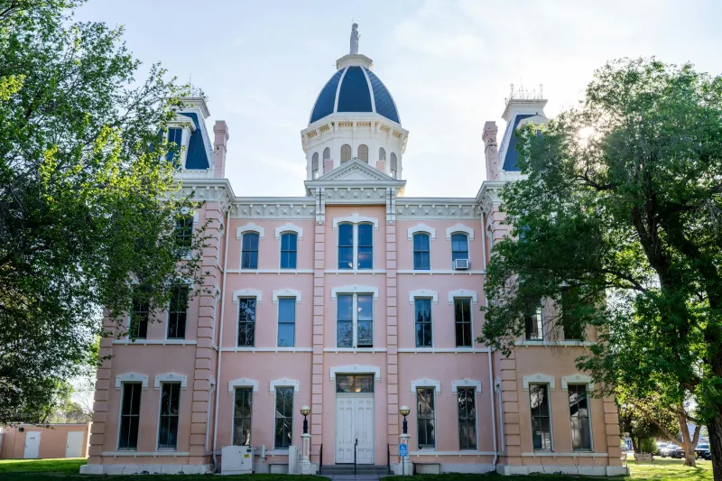
The Courthouse That Moved Without Moving
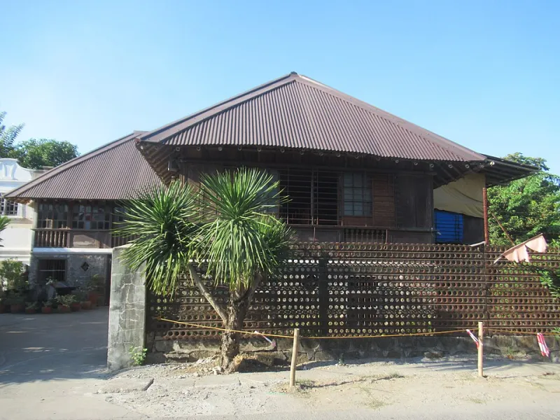
The physical courthouse building presented its own unique problem: it was a Missouri government facility sitting on Kansas soil. Rather than demolish or relocate the building, Kansas agreed to purchase it from Missouri for the symbolic sum of one dollar.
The building continued operating as a courthouse, but now under Kansas authority. The same judges heard similar cases in the same rooms, but their legal authority now derived from a different state government. From the outside, nothing had changed; from a legal perspective, everything was different.
Courtroom furniture, law books, and even the building's cornerstone remained exactly where they had been. Only the source of judicial authority had shifted, invisible to casual observers but crucial for legal legitimacy.
Lessons in Accidental Government
The Millfield courthouse story reveals something remarkable about American legal systems: they're more flexible than most people realize. When faced with an impossible situation, pragmatic officials found creative solutions that preserved both legal continuity and bureaucratic sanity.
The case also demonstrates how surveying errors could have far-reaching consequences in the 19th century. A quarter-mile mistake in boundary determination created three decades of jurisdictional confusion, affecting thousands of legal decisions and countless residents' lives.
Perhaps most significantly, the story shows how governments can cooperate to solve problems that strict legal interpretation would make unsolvable. The Millfield Compact represented interstate cooperation at its most practical, prioritizing residents' needs over bureaucratic purity.
The Invisible Legacy
Today, visitors to the former Millfield courthouse see a typical small-town government building with no indication of its unusual history. The boundary markers installed in 1911 show the correct state line, and all legal proceedings follow proper jurisdictional protocols.
But in the basement archives, researchers can still find evidence of the thirty-year legal anomaly: Missouri case files for Kansas residents, property deeds with impossible geographic references, and marriage certificates issued by judges who technically had no authority to perform the ceremonies.
These documents serve as a reminder that sometimes the most functional government is the one that operates in the gaps between official authority and practical necessity. The Millfield courthouse worked precisely because no one questioned whether it should work — until someone finally checked the maps.